Commercial Roofing Services
Commercial Drone Roof Inspection
A screened equipment court can hide a roof section from the access hatch. In Fishers, IN, a drone can capture an overview of that area, the perimeter, and the visible water path without treating the image as a hands-on inspection. We use aerial views to orient the roof map, document visible conditions, and identify details that deserve a closer check. The report separates image-based observations from confirmed seam, flashing, or moisture conditions so the owner knows where a second inspection is needed.
What can the aircraft see from above?
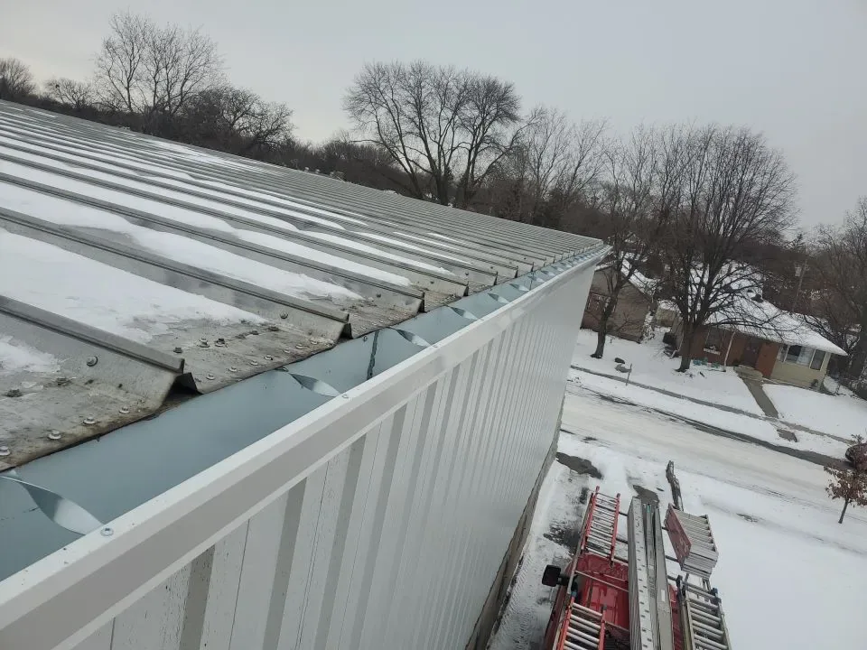
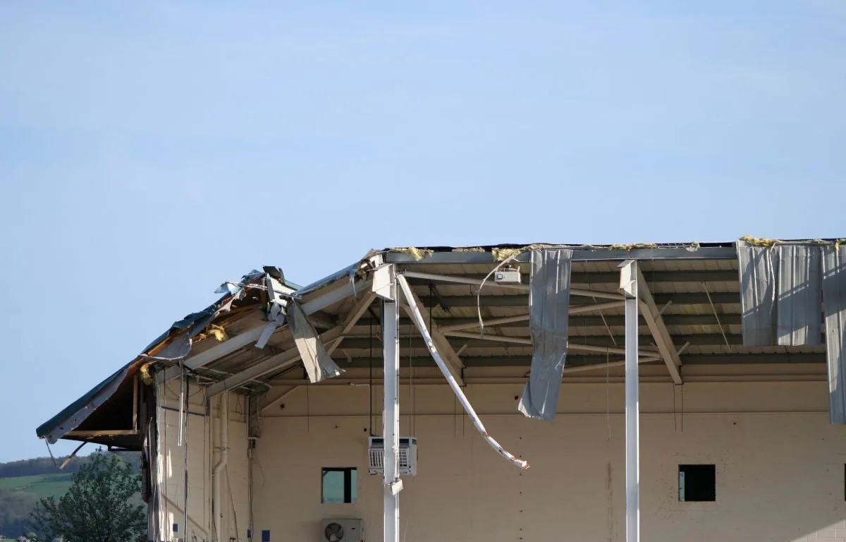
Aerial images can show broad surface conditions, equipment layout, debris, visible ponding, displaced accessories, and how roof sections connect. They can also document areas blocked by parapets from a ground view or difficult to reach from one hatch. Before flight, we review the roof plan, access rules, operating hours, and the question the images should answer. A hands-on roof inspection can then focus on the seams and transitions the overview flags.
Image quality depends on light, wind, weather, flight angle, and obstacles. A roof map needs clear section labels and photographs that can be tied to a building area. Near Fishers District, varied commercial uses and access rules can influence when an aerial survey is practical; the image still cannot identify a concealed membrane layer. We confirm permission, safe staging, and the flight path with the property contact before launch.
What still needs a hands-on check?
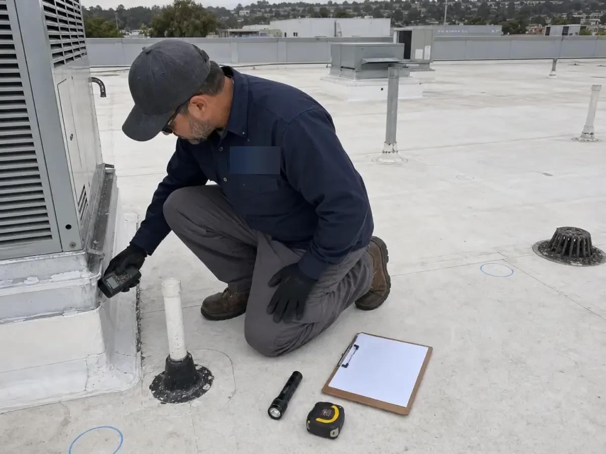
A photograph cannot test a weld, probe a lap, confirm a loose termination, or show whether insulation beneath a membrane is wet. We do not use an aerial image to assign a leak cause or close a repair boundary. If an image suggests a split, lifted edge, or drain concern, the next step is a safe roof walk at that location. We record which items remain visual observations and which were confirmed by touch, measurement, or a controlled opening.
An aerial view is most useful when the owner can act on what it shows. A visible drain obstruction can be assigned for clearing, while a suspected open lap should be placed on the hands-on inspection list. We label the observation, the image location, and the check that would confirm it. That prevents a broad overhead photo from becoming a repair instruction before anyone has confirmed the material or attachment below.
Water can travel below the membrane before it appears indoors. A view of a rooftop stain or low point does not show the condition of each layer below it. The leak tracing visit compares aerial context with room reports and roof details, while drainage inspection checks the outlet and overflow directly. That keeps an overhead image from being mistaken for a full diagnostic conclusion.
Commercial Roofing Services
How does a flight become a useful roof map?
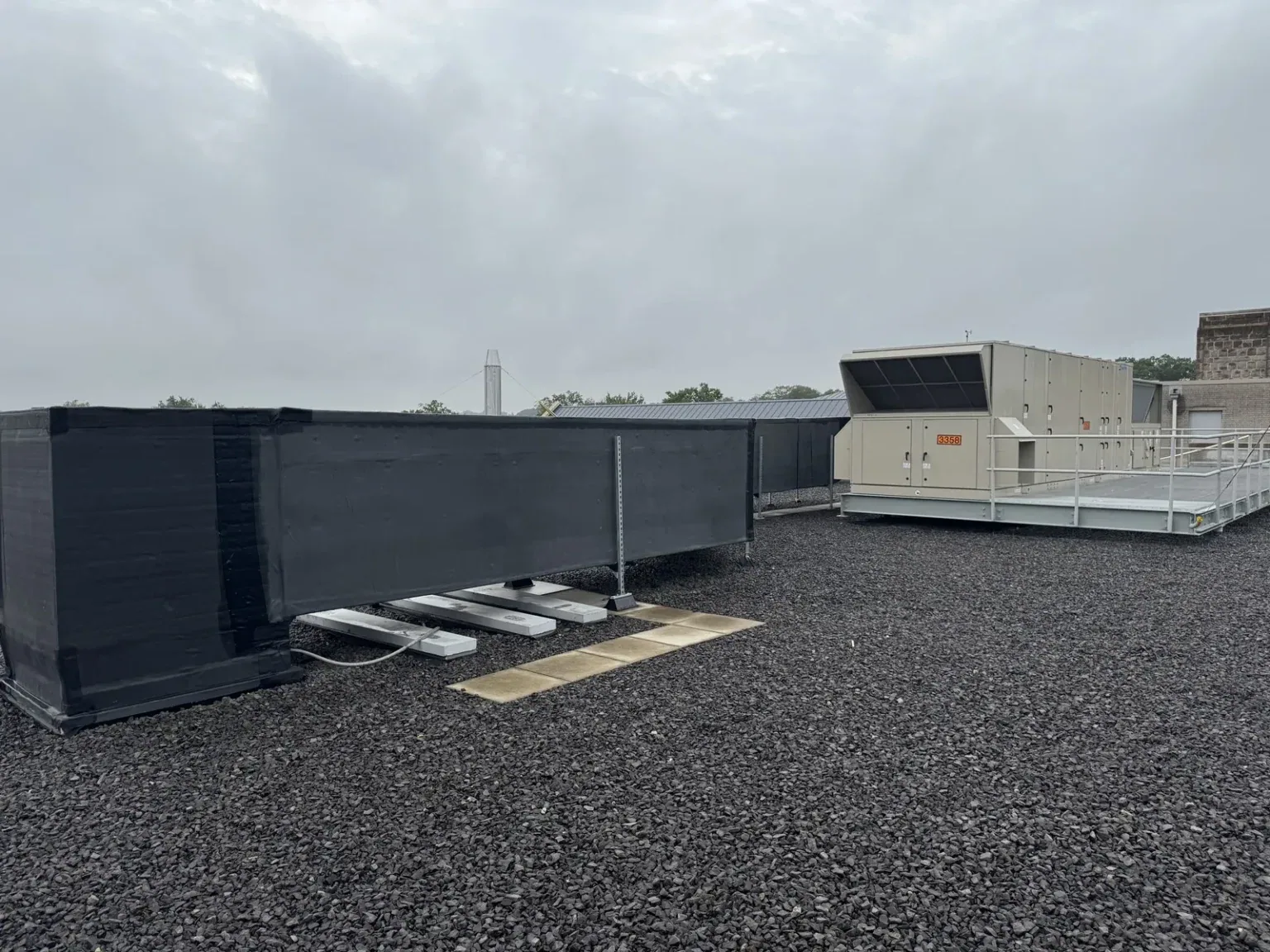
We organize images by building and roof section, then mark visible features that help the facilities team return to a detail. The map can label drains, skylights, rooftop units, access points, and areas that need a closer view. Each observation is described plainly and paired with an image. We record obstructions or image limits rather than guessing what is behind equipment, a screen, or a parapet.
Fishers reported 137 commercial building permits in 2024, a measure of current construction activity rather than a count of roofs or roof conditions. As properties change, aerial documentation can help identify additions and equipment locations before a scheduled walk. In the Fishers Life Sciences and Innovation Park, facility teams may have operating controls that affect roof access; we coordinate the survey with the authorized contact and keep each building record separate.

Commercial Roofing Services
Can a thermal image prove moisture?
Thermal patterns can point to a temperature difference, but they do not by themselves establish wet insulation. Solar exposure, surface conditions, and building operation can influence the image. We explain when the pattern supports further testing and what method would confirm the assembly. If moisture could change a replacement or repair quantity, a moisture survey can select test areas for closer review; a controlled opening confirms layers at that location.
After an aerial or thermal survey, we mark the test boundary, restore each opening with a compatible detail, and record its result. One sample does not represent a whole roof unless the test plan supports that conclusion. The roof condition record keeps image-based observations, core locations, and follow-up work distinct. This lets a general contractor use the documentation without carrying an unverified image interpretation into a bid or schedule.
Which projects benefit from aerial imaging?
Drone imaging can help when a roof is large, access is limited, or the owner needs a dated overview before a hands-on visit. It can document visible conditions after a storm and provide context for planning several inspection zones. It is less useful when weather prevents a stable flight or when a close test is the decision needed. In those cases, we identify another safe way to inspect the assembly rather than treating the image as a substitute.
Fishers’ commercial center follows I-69 and State Road 37, while Allisonville Road has a commercial center between 106th and 126th Streets. These place facts orient field logistics, not roof design. A property near the Allisonville Road corridor may have separate customer, delivery, or tenant routes that affect launch and staging. The contact confirms the actual site rules. If a visible opening needs immediate protection, our emergency response can address exposure while hands-on verification is scheduled.
Talk to Our Roofing Team
Call 555-555-5555 or request a roof assessment. Tell us the address, the roof type if you know it and where water or damage is showing. We work across Fishers, Carmel, Noblesville, Westfield, Zionsville and the surrounding communities.
Commercial Roofing Services
What should the survey deliver?
A useful deliverable includes dated images, a labeled roof map, flight and access limits, visible observations, and a list of details for follow-up. It distinguishes image interpretation from field-confirmed conditions and names any area the camera could not show. If a repair is recommended, the repair scope should be based on the confirmed assembly and tested boundary, not an image alone.
Before images are used in a bid package, we compare their labels with the current roof plan and confirm that each view belongs to the correct building. If the plan is outdated, we mark the difference for field verification rather than silently revising the drawing. The image set also identifies which roof details require another trade’s access or a mechanical shutdown. That lets the general contractor plan a hands-on follow-up with a defined section and purpose.
We review the map with the owner or general contractor and identify whether a roof walk, moisture test, or repair visit is the next step. A later survey can use the same labels to compare visible changes, provided images are captured from useful angles under comparable conditions. For projects with several trades, the record names equipment interfaces and access needs before material or lift scheduling. Send the roof plan, construction schedule, access restrictions, and the area of concern to determine whether an aerial overview will help the inspection decision.
Frequently Asked Questions
Which roof checks still require a person after drone images?
No. Images document visible conditions and help plan access. A person still needs to inspect or test seams, flashing, substrate, and suspected moisture when those details affect the repair.
Can drone images find a roof leak?
They can show visible paths, debris, and roof features around a reported area. We compare that view with interior symptoms and inspect the suspected detail before confirming an entry point.
Do aerial images show wet insulation?
Not by themselves. A thermal pattern may identify a test candidate, but a suitable moisture survey or controlled opening is needed to confirm the layers at a location.
What can prevent a drone survey?
Wind, rain, poor visibility, site restrictions, or an unsafe launch area can make a flight unsuitable. We confirm conditions and permission before scheduling the survey.
What information do you provide after the flight?
We provide dated images, roof-section labels, visible observations, access limits, and recommended follow-up. Any hands-on test or repair is listed separately from image findings.
Related Roofing Work
Fishers, IN
Plan an aerial roof overview
Send the roof plan, construction schedule, access restrictions, and section of concern. We will confirm whether drone imaging can help and identify any hands-on check the images cannot replace.